Week of 1/21/2019
File Pathing
This week, the focus shifted back towards file/folder pathing and demoing potential processing workflows. The folder path structure assigned is fairly simple, and just adds the appropriate folders to the research drive. The new folder structure takes a "broad to specific" approach. The first folder is a data folder for the course, than a specific folder for this semester, then a set of folders for any type of information needed to be saves such as data or flight area shape file assignment. Within the data folder, specificity increases with a folder for location codes (see week 2 post for explanation of location codes), with each location having its own folder. Within a location folder, a folder for GCPs exist as well as a data type folder. Within the data type folder, folders exist for each type of data we plan to collect such as geospatial video or multispectral imagery. Inside each of those folders, missions are saved as per the naming structure assigned in a previous blog post. Within the mission folders, a folder for images, processing, analysis, and final products exists.
While there is obviously many folders to click through in this structure, it should make it easier to find specific data sets. This is because one simply clicks on the information of the data they are searching for until they reach the final dataset.
Demo Dataset
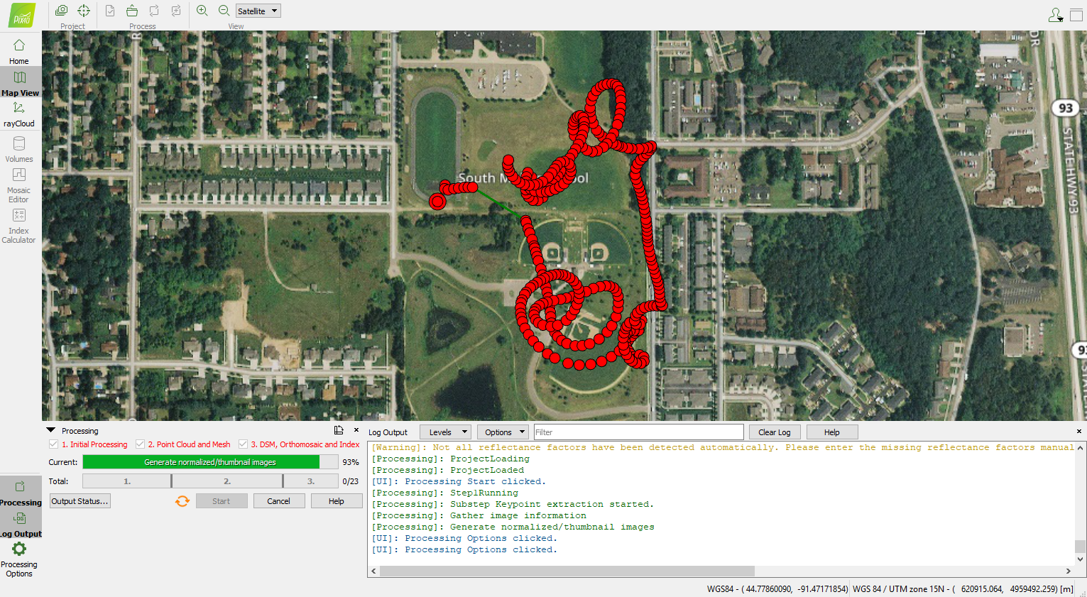
The second task of the week was to test Pix4D on the new lab computers. Photogrammetric workflows had yet to be tested on the new computers, so I ran a simple multispectral orthomosaic processing workflow in the program. The data set I used was collected during a launch and land test flight of the C-Astral Bramor fixed wing aircraft, so the data was not collected in a mapping mission. I chose this data set because it would mean some of the data collected would be of lower value, unlikely to properly rectify or rectify accurately. The test flight provided a heterogeneous set of data to interact with during processing and while inspecting products. The entire data processing workflow took approximately an hour and a half to complete on the weaker set of computers in the lab (32gb of RAM). While there were areas of lesser quality in the final orthomosaic, DSM, and textured mesh, this was expected with the erratic flight path of the aircraft. There is no indication that Pix4D would not suffice as the processing software for this project on these computers.


No comments:
Post a Comment